
Map of Iceland.

Fumarole.

Lava field stretching to the horizon.
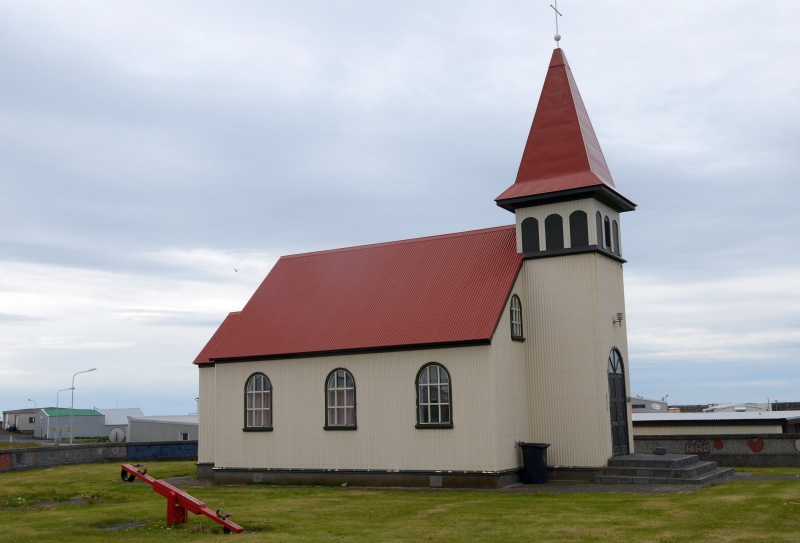
Church in a small harbour village.
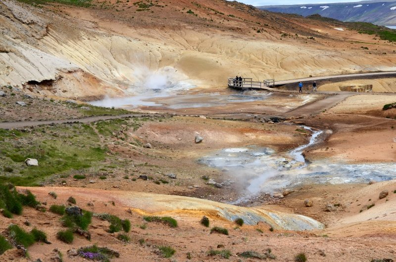
Area with hot springs and fumaroles.

Area with hot springs and fumaroles.

Waterfall.

Waterfall.
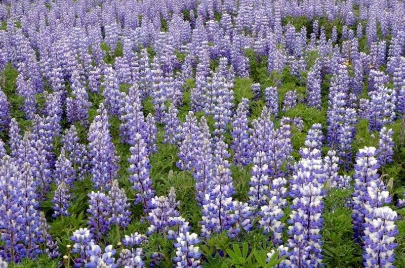
Lupine.

In Pingvellir National Park (on the UNESCO World Heritage list).

Black Beach.

Black Beach.

Black Beach.
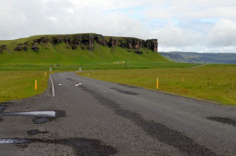
Landscape somewhere on the route.

Landscape somewhere on the route.

Tongue of Vatnajokull - the largest glacier in Europe.

Penis museum in Reykjavik.
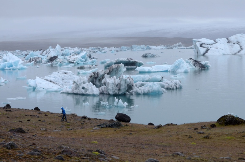
Majestic Jokulsarlon Glacier Lagoon.

Majestic Jokulsarlon Glacier Lagoon.

Driving on icelandic roads is not easy.
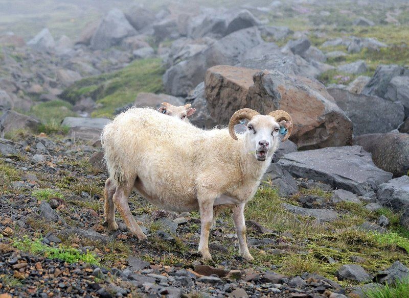
Sheep - common sight on the road.
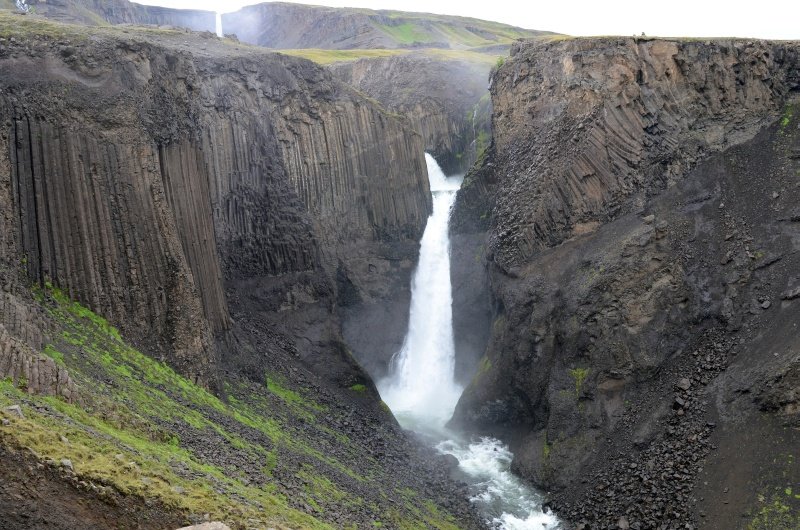
Waterfall.

Even in summer it can here be chilly (6 degrees of Celsius at mid-day on mid-July).

Dettifoss - the largest waterfall in Europe.
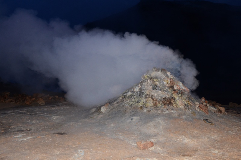
Fumarole.
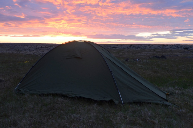
At sunset.

Crater.

Geothermal spa Blue Lagoon.

In geothermal spa Blue Lagoon.

Icelandic horses.

Eruption of geyser.

Waterfall.